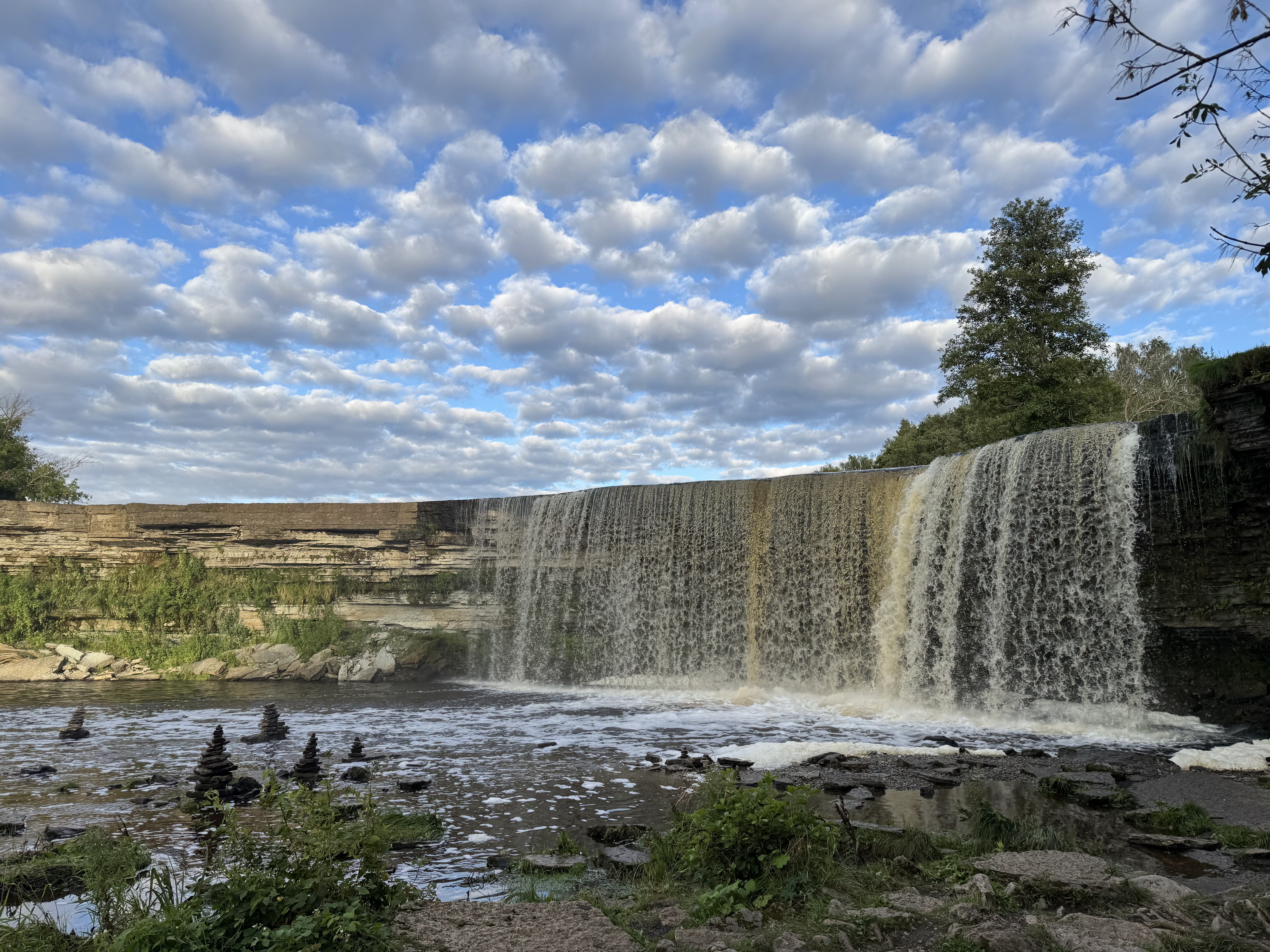
Jägala Waterfall (Jägala-Joa)
Estonia's Largest Natural Waterfall · Baltic Klint Geosystem · Heritage Site
About Jägala Waterfall
Welcome to Jägala Waterfall (widely referenced as Jagala Waterfall in international travel literature; Estonian endonym: Jägala juga). Located in the heart of Jägala-Joa, Jõelähtme vald, Harju maakond, Estonia, this site is the primary natural landmark along the Tallinn–Narva segment of the Baltic Klint belt.
Step into Jägala Waterfall and be instantly awestruck by Estonia's most spectacular natural wonder. No urban noise, just cascading water, dense forests, rugged rocks, and winding river valleys — every corner radiates raw natural power. I visited in late spring, when melting snow fed the most abundant water flow. The white water curtain plunges 8 meters down, the roaring sound fills the air, and mist spreads everywhere, forming brilliant rainbows in the sunlight. Both riverbanks are shaded by green trees, wildflowers dot the landscape, and the natural ecosystem is perfectly preserved. The walking trails around the waterfall are well-maintained, with wooden viewing platforms offering the best angles. Visitors take photos from various spots, have picnics by the river, and children play in the shallow water, their laughter echoing through the valley. There are no commercial artificial traces here, only pure natural beauty. In autumn, the surrounding forests don colorful golden and crimson coats, making the waterfall even more magnificent against the backdrop of vibrant foliage. In winter, when frozen, the waterfall forms spectacular ice curtains, silver and white, like a fairy tale world.
Visit Tips
- Best window: post-snowmelt spring (Apr–May) for peak discharge (~35–60 m³/s) and highest rainbow frequency
- Allow 2–3 hours on-site; add 30–45 minutes if hiking the downstream erosion section
- Riverbank trails can be slippery after rain or frost — wear lug-sole non-slip footwear
- Bring water and pre-packed picnic food — no commercial kiosks operate within the protected landscape
- For birders and macro photographers, carry 200–400 mm telephoto and polarizing filter
Landmark At A Glance
- Estonia's largest natural waterfall by discharge — ~8 m drop, width up to 50–60 m in spring flood
- Middle Ordovician limestone section (≈ 470 Ma) with potholes and sculpted plunge pools
- Recorded average flow 10–14 m³/s; spring peak 35–60 m³/s (Estonian Environment Agency)
- Protected landscape unit (107 ha) co-managed by RMK State Forest Management Centre and Jõelähtme Parish
Landmarks & Attractions Around Jagala Waterfall
When visiting Jägala Waterfall, visitors can easily explore surrounding historical landmarks and protected areas, including Lahemaa National Park (≈ 25–35 min drive NE) and Jägala Monastery Ruins (Cistercian, 14th century, ≈ 3 km downstream).
About Jägala Waterfall (Governance & Protection Status)
Basic Information
Official Denomination
Jägala Waterfall (Jägala juga, endonym)
Site Classification
Natural Waterfall · Geological Wonder · Protected Landscape · Eco-Tourism Site
Country
Estonia (Republic of)
County / Parish
Harju maakond · Jõelähtme vald
Google Rating
4.8/5 (7,916)
Street Address (Car Park Access)
Kubja tee, Jägala-Joa, 74212 Harju maakond, Estonia
Opening & Best-Visit Windows
Protected Landscape
Open year-round, 24 hours — no ticket gates, no access-control barriers
Peak Conditions by Season
Spring (Apr–May): snowmelt discharge peak (35–60 m³/s) — maximum power and rainbow frequency
Summer (Jun–August): mild temperatures, white nights — ideal for hiking and picnics
Peak Conditions by Season
Autumn (Sep–Oct): layered canopy colours, high-contrast mist — best for foliage photography
Winter (Nov–Mar): ice-curtain formation — stay on boardwalks, DO NOT step onto untested ice
Aim for the first two hours after sunrise or the last two before sunset — warm side-light and visible mist create the strongest images.
Admission · Parking · Guided Walks
Protected Landscape (Public Area)
Free access — no ticket or pass required
Parking (Type Dependent)
Free on most site-adjacent car parks; some village-regulated bays may have paid parking — verify signage on arrival
Organised Guided Walks (Estonian / English / Russian)
Bookable through official regional tourism operators; rates vary by group size and language — no direct on-site ticket desk
How to Get Here
From Tallinn City Centre
Drive east from Tallinn along the E20 highway for approximately 25 km (≈ 30 minutes). Alternatively, take a Tallinn–Narva intercity bus, alight at Jägala-Joa stop and walk ≈ 15 minutes to the viewing platform.
From Tallinn Airport (TLL)
Rent a car or take a taxi from Tallinn Airport; continue east on E20 for roughly 20 km (≈ 25 minutes). Direct public transport to the airport requires an interchange at Ülemiste or the central bus station.
Public Transport (Bus)
Board intercity coaches towards Narva or Jõgeva from Tallinn Bus Station (Tallinna bussijaam), alight at Jägala-Joa, then walk. Service frequency is markedly lower on weekends (often only 3–5 return trips per day) — always cross-check the TLT.ee / Elron live timetable before departure.
By Bicycle
≈ 25 km from Tallinn along waymarked rural cycling routes; suitable for endurance cyclists. Carry water, spare inner tube and high-visibility vest.
By Private Motor Vehicle
East on E20 from Tallinn, exit at Jägala and follow brown road signs. Site-adjacent car parks are free. Overnight camping or sleeping in vehicles inside the protected landscape area is NOT permitted.
Jägala Waterfall Deep Archive: Geology · Hydrology · Ecology · History
Geology & Formation (Middle Ordovician Limestone, ~ 470 Ma)
Jägala Waterfall is carved into the lower reach of the Jägala River (drainage basin ≈ 1,480 km²) and is the largest natural knickpoint waterfall inside Estonia's mainland. The main scarp has a drop of approximately 8 meters with a maximum width of 50–60 meters during high flow, developed on thick Middle Ordovician limestone interbedded with dolostone. Over millennia, headward erosion along the bedding planes has incised a 200-meter-long gorge into the limestone plateau. Giant's kettles (potholes) up to ~1.2 m across and 0.8 m deep, stepped erosion terraces and karstic solution flutes are clearly exposed below the plunge pool — a textbook field outcrop for post-glacial landscape evolution in the western Baltic region.
Hydrology: Discharge Regime, Ice Curtain & Thermal Regime
Long-term hydrometric records by the Estonian Environment Agency indicate a mean discharge of 10–14 m³/s on the Jägala River at the waterfall reach. The spring flood peak (Apr–May) routinely reaches 35–60 m³/s — this is the most visually impressive stage. Mid-winter low flow (Jan–Feb) may fall to 3–6 m³/s. Water temperature ranges from 10–16 °C (summer mean) down to the freezing point in winter. After 5–7 consecutive days of sub-zero air temperature, a stable ice curtain 20–40 cm thick commonly develops at the brink, persisting through mid-to-late March. This is one of the more accessible natural ice bodies of its type in Northern Europe.
Ecology & Protected Species
The waterfall and both banks of the gorge belong to the Harju County woodland network. Plant communities are dominated by a mixed birch–pine–spruce forest (Betula pendula · Pinus sylvestris · Picea abies) with a well-developed dwarf-shrub understorey of lingonberry (Vaccinium vitis-idaea) and heather. The gorge and adjacent floodplain form potential habitat for species protected under the EU Habitats Directive: recorded taxa include Lutra lutra (Eurasian otter, Annex II), Alcedo atthis (Common Kingfisher), Little Tern colonies, and a number of terrestrial orchids. The riparian wetlands also perform key groundwater recharge and flood-mitigation ecosystem services.
Four-Season Phenology & Landscape Calendar
Spring (Apr–May, phenology: Common frog spawning → birch leaf burst): Snowmelt drives the annual discharge maximum; backlit morning mist frequently produces secondary rainbows — the gold window for landscape photography. Summer (Jun–August): White nights (civil twilight > 0 lux all night) extend usable sightseeing hours. Mid-June to early July the river margins are coloured by Ranunculaceae and Rosaceae in flower. Autumn (Sep–Oct, birch colour transition ≈ 25 Sep – 15 Oct): The mixed canopy turns gold → orange → deep crimson in layered bands; temperature contrast against mist produces high-dynamic-range scenes. Winter (Nov–Mar): Near the polar-night boundary with only 4–6 hours of daylight, side-illuminated ice curtains show translucent blue polarised glow — a specialist subject for winter landscape photographers.
Modern History: Written Records · Monastic Mills · Protection
The first scholarly written mention of Jägala Waterfall in European literature is attributed to the Baltic-German naturalist Karl Ernst von Baer (1792–1876), who submitted a memorandum — Notes on Estonian River Valley Morphology — to the Imperial Academy of Sciences in Saint Petersburg in 1838. Approximately 3 km downstream from the waterfall stand the ruins of Jägala Monastery (Jägala klooster, Cistercian, first half 14th century, dissolved in the Reformation / Livonian War upheavals of the 16th century). Surviving Liber frumenti fragments indicate the monks operated two undershot watermills on the Jägala River's fall — the first historical record of the river being used for hydraulic power. During the 1940–1991 Soviet period the site was designated a state recreation area (puhkeväljak); after the restoration of Estonian independence in 1991 the waterfall and its buffer were formally inscribed on the protected landscapes register under the Nature Conservation Act.
Cultural Significance & National Iconography
Since the late 19th century Jägala Waterfall has figured as one of the recurrent 'Fatherland Nature' motifs of the Estonian National Awakening, appearing in watercolour sketches and postcards by the second generation of the Johann Köler school of painters. After 1991 it was adopted as a leading visual identifier for natural Estonia in the Visit Estonia international tourism promotion roster; together with Keila juga and Tooma juga it is popularly grouped as 'Estonia's Three Great Waterfalls'. The 2021 Estonian Landscape Aesthetics White Paper lists it among 12 representative natural landmarks of the Baltic Klint discontinuity.
Historical Background & Local Oral Tradition (Jägala Waterfall · Jägala juga)
※ The Oral Tradition section is compiled from field archives of the Estonian Folklore Society (Eesti Rahvasteaduse Selts). It is presented as folklore-material only, without scholarly assertion as to the historical truth of the narrated events.
A. Documented Historical Background
In the first half of the 14th century, Cistercian monks under the Teutonic Order's territorial jurisdiction founded Jägala Monastery (Jägala klooster) on the lower Jägala River, roughly 3 km downstream from the present waterfall. Fragments of the monastery's Liber frumenti (grain register) record that the brothers erected two undershot watermills against the river's natural knickpoint — this is the first time the Jägala drop enters the historical record as a source of hydraulic power, not simply as scenery.
After the Livonian War and Reformation upheavals of the 16th century the monastery was dissolved, the mills fell into decay, and Jägala juga reverted to a purely natural landscape identity. In 1781 the Baltic-German regional chronicler August Wilhelm Hupel devoted roughly two pages of his Topographisches Wörterbuch von Liv- und Ehstland to the waterfall's drop, hydrology and surrounding vegetation — the most complete surviving early-modern description.
The 19th century was the period in which Jägala Waterfall entered wider public consciousness. In 1823 the Tallinn–Narva post road was realigned to pass roughly 800 m north of the waterfall, converting it into a recognised 'natural stop' on the main route. Von Baer wrote his 1838 scholarly memorandum; from the 1870s onward the first Estonian-owned postcard publishers issued 'Jägala juga' series, with a combined print run in excess of 120,000 copies by 1914.
After the restoration of Estonian independence in 1991, Jägala Waterfall and the surrounding 107 hectares of woodland were formally designated a 'protected natural landscape' (kaitstav loodusmaastik), co-managed by the State Forest Management Centre (RMK) and Jõelähtme Parish. This administrative framework remains in place today.
B. Local Oral Tradition (Folklore Archives)
According to the oral material collected in 1927, villagers located a tutelary 'mistress of the waters' (vesihaldjas) in the deep pool below the waterfall: clad in silvery-white water-grass robes, she was said to regulate the succession of spring flood and autumn low-water. The motif required anyone throwing a single undyed wool-thread into the pool's centre on the first morning of spring flood to be spared from overflow onto the village arable land in that year. In folklore classification, this is a well-attested 'local guardian sacrifice' pattern, widely distributed across Finno-Ugric oral traditions of the Baltic Sea region.
This motif was recorded comparatively late (1961). The informant transmitted what she attributed to her grandmother's generation: a newly-wed couple standing side-by-side on the main viewing platform who silently voiced the same wish during the exact split-second a sun-rainbow pierced the mist would, it was said, 'have that wish heard by the river's memory within three years'. Folklore scholars generally classify this as a classic late-modern folk-invention: 'landscape threshold + contingent rare event = wish-making window', rather than a medieval tradition.
This legend attaches itself to the 16th century dissolution of the monastery. The last miller, the tale runs, on the night before troops were quartered in the monastery, took three small kegs of the chapter's accumulated gold coins and threw them into the waterfall's plunge pool. Over the following three centuries low-water 'gold-probing' parties appear in several unofficial chronicles, though no actual recovery is ever attested in archival documents. Typologically, the 'hidden monastic treasure in a body of water' template is shared by at least 30 comparable legends across the wider Baltic region.
Suggested Itinerary (2–3 Hours on Site)
Recommended as a half-day trip from Tallinn: drive or take an intercity bus to Jägala Waterfall. Walk from the car park to the main viewing platform, descend the left-bank trail for close-range erosion landforms, reconnoitre the right-bank elevated viewpoint, rest at the designated picnic lawn, locate the best photo stops, photograph the waterfall panorama, and return along the access trail.
Depart Tallinn by private car or pre-booked intercity bus (Tallinn → Narva / Jõgeva line)
Park in the site-adjacent car park; on foot exit the car park heading west towards the river
Ascend to the main wooden viewing platform and observe the full waterfall panorama against the limestone scarp
Descend along the left riverside trail (gentle gradient) to inspect potholes, erosion terraces and solution grooves
Pause at the riverside shallow zone to observe the geological architecture and — if fortunate — kingfisher / dipper activity
Climb to the right high-ground viewpoint to take in the full overhead panorama of the waterfall, gorge and upstream river reach
Rest on the designated picnic lawn (NO open fires / NO disposable BBQs)
Walk back through the forest trail corridor, noting the phenology of the canopy through the four seasons
Frame up your final photographs from the compositionally best vantage points
Re-enter the access trail and return to the car park / bus stop to conclude the visit
Photography Vantage Points
Main Wooden Viewing Platform
Default frontal panorama position; captures the full curtain plunging onto the plunge pool — ideal for wide-angle and long-exposure silky-water renderings.
Left-bank Shallow Reach
Close-range waterfall background with foreground boulders and spray; polarising filter recommended to control surface glare.
Right High-ground Viewpoint
Overhead 3/4 vista of waterfall, gorge and river corridor; excellent for golden-hour side-light and layered-autumn compositions.
Below the Cascade (from distance)
Low-angle compositional choice to emphasise the 8-metre drop; avoid trespassing beyond marked railings — strong re-circulation currents underwater.
Forest Access Trail (river-facing side)
Birch / pine frames in the foreground, waterfall in the background; ideal for layered environmental portraiture and intimate landscapes.
Amenity Type Reference (Neutral Classification — No Individual Businesses Recommended)
※ This section lists amenity categories only, plus generic search keywords. No specific commercial venue is endorsed. Verify current availability via official tourism portals or live mapping platforms.
Public Toilets
Municipal public toilets are commonly available near the car park area and along the main road network (suggested live-map keywords: WC · Public toilet · Avalik tualett). A number of State Forest Management Centre (RMK) information huts also operate seasonal washroom facilities. Confirm the daily open/closed status via the Estonian Ministry of Environment public-facilities map before departure.
Parking Typologies
Three generic categories of parking are usually found near the waterfall: (1) Site-adjacent free surface car park for light vehicles (≈ several dozens of bays); (2) Highway laybys for short 15–30 minute stop-and-photograph stops; (3) On-street regulated bays in the nearby village centre (5–10 minute walk). For spring flood and summer weekends, aim to arrive before 10:00 local time. Do not park on unpaved natural ground or forest firebreaks — this is prohibited under the protected-landscape regulations.
Food & Beverage — Establishment Types
Typical dining categories retrievable around the area include (1) Parish-centre family-style restaurants (regional home cooking); (2) High-road roadside cafés and rest houses (Puhkehoone · Café); (3) Motorway service-area self-service restaurants; (4) Village bakeries with take-away sandwiches. Use live-map keywords: Restoran · Köök · Café / Restaurant. As a non-profit information project we do not name or rank individual businesses.
Lodging — Category Overview
Travellers may independently search the following typologies depending on budget and itinerary: (1) Tallinn Old Town boutique / heritage hotels (≈ 25–30 min drive, suited for a multi-day Tallinn-centred trip); (2) Country guesthouses / self-catering cottages in Jõelähtme Parish or surrounding parishes (Külalistemaja · Puhkemaja · Guesthouse); (3) Central Tallinn hostels / capsule rooms (budget tier); (4) Forest log-cabin holiday rentals in the Lahemaa National Park orbit (2–3 day deep-nature trip friendly). Verify availability, reviews and real-time pricing yourself.
Grocery & Food Resupply
Typical food-resupply channels are (1) Mid-sized supermarket chains at parish level (keywords: Pood · Supermarket); (2) Convenience stores co-located with highway filling stations; (3) Large-format hypermarkets in Tallinn's eastern suburban ring. For picnics or longer hikes, stock up on water and provisions before entering the Jägala-Joa rural zone rather than relying on on-site retail.
Fuel & Electric Vehicle Charging
Both directions of the E20 Tallinn–Narva highway host (1) Combined filling stations (fuel + convenience store + washrooms) within a roughly 8–15 km radius of the site. (2) DC fast-chargers (CCS / CHAdeMO) are typically deployed at the major suburban hypermarket car parks and at the larger highway service stations. Plan a 60 km round-trip state-of-charge buffer for EV day trips from Tallinn. Live keywords: Laadijaam · EV Charging · Charging station. Brand-neutral information only.
Lodging Type Reference (Neutral Classification — No Specific Businesses Endorsed)
※ Category typology and general price-band guidance only. Live search the corresponding keywords for real-time vacancy and pricing.
Tallinn Old Town — Boutique / Heritage Hotels
Boutique or heritage-class hotels inside the Tallinn Old Town UNESCO World Heritage Site perimeter, typically in medieval or Hanseatic-period buildings. Excellent for travellers combining the waterfall day-trip with a multi-day Tallinn stay. Driving distance to Jägala Waterfall approximately 25–30 minutes.
Country Guesthouses / Self-catering Cottages
Independently operated countryside guesthouses, self-catering cottages or farm-stays in Jõelähtme Parish and neighbouring parishes. Ranges from wooden farmhouses to purpose-built holiday units, commonly 10–20 minutes by car from the waterfall. Well suited for travellers wishing to avoid urban density.
Lahemaa National Park Orbit — Forest Log Cabins
Stand-alone holiday log cabins located either inside or immediately adjacent to the Lahemaa National Park buffer zone, often with kitchenette and private sauna facility. Suited to 2–4 person groups undertaking a 2–3 day deep-nature itinerary. Drive time from Jägala Waterfall to the main cabin areas is roughly 20–40 minutes further east.
Budget Lodging — Central Tallinn Hostels / Capsules
Dormitory-bed or compact single-room budget lodging concentrated in central Tallinn and around the long-distance bus / rail interchanges, with strong social ambience and lowest per-person cost. Tailored to independent backpackers on a constrained budget; reaching the waterfall requires combining public transport (intercity bus + walk) or a same-day car rental.
Photo Gallery
Jägala Waterfall Through the Seasons · Geology · Ecology
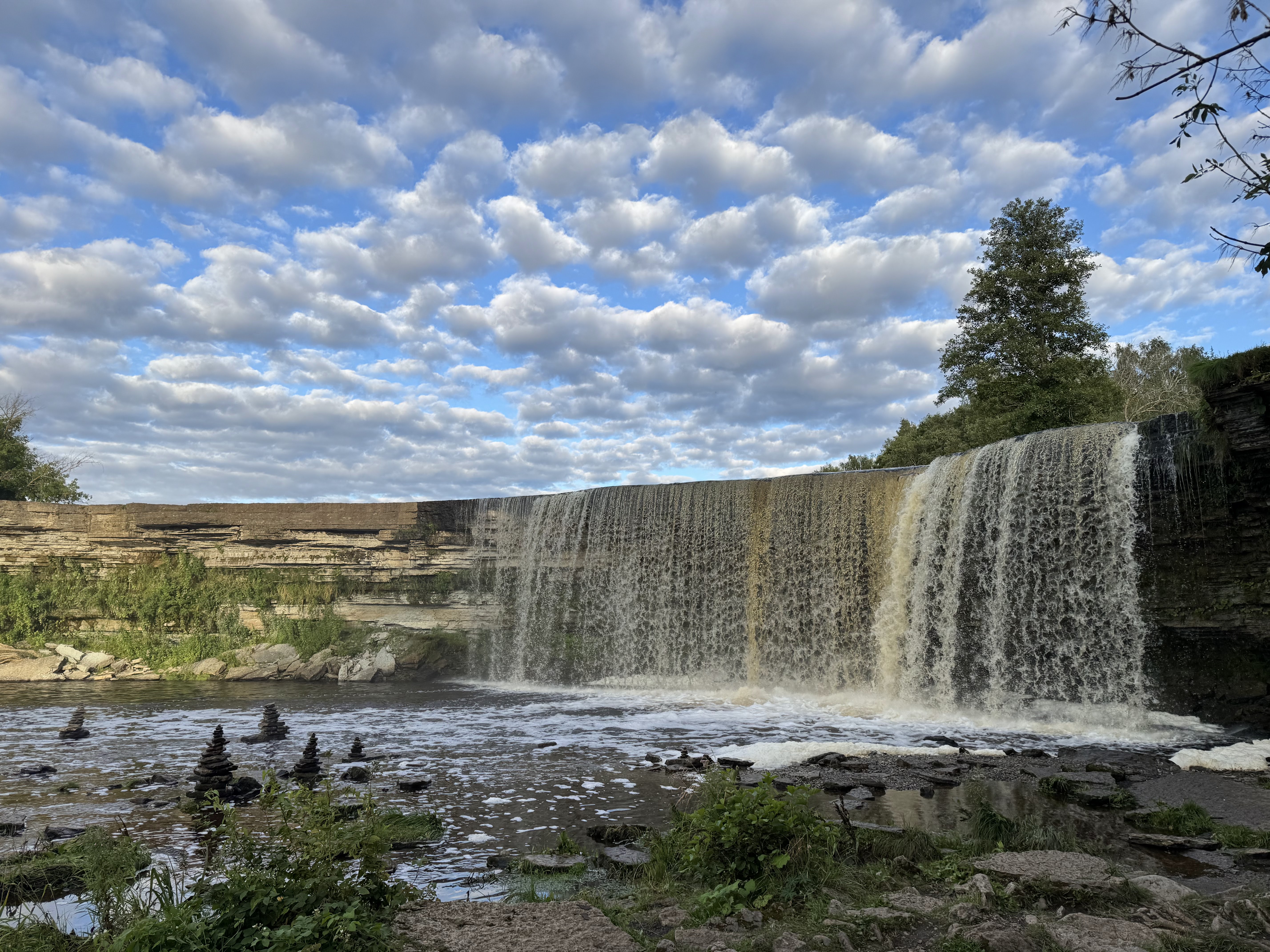
Panoramic main view
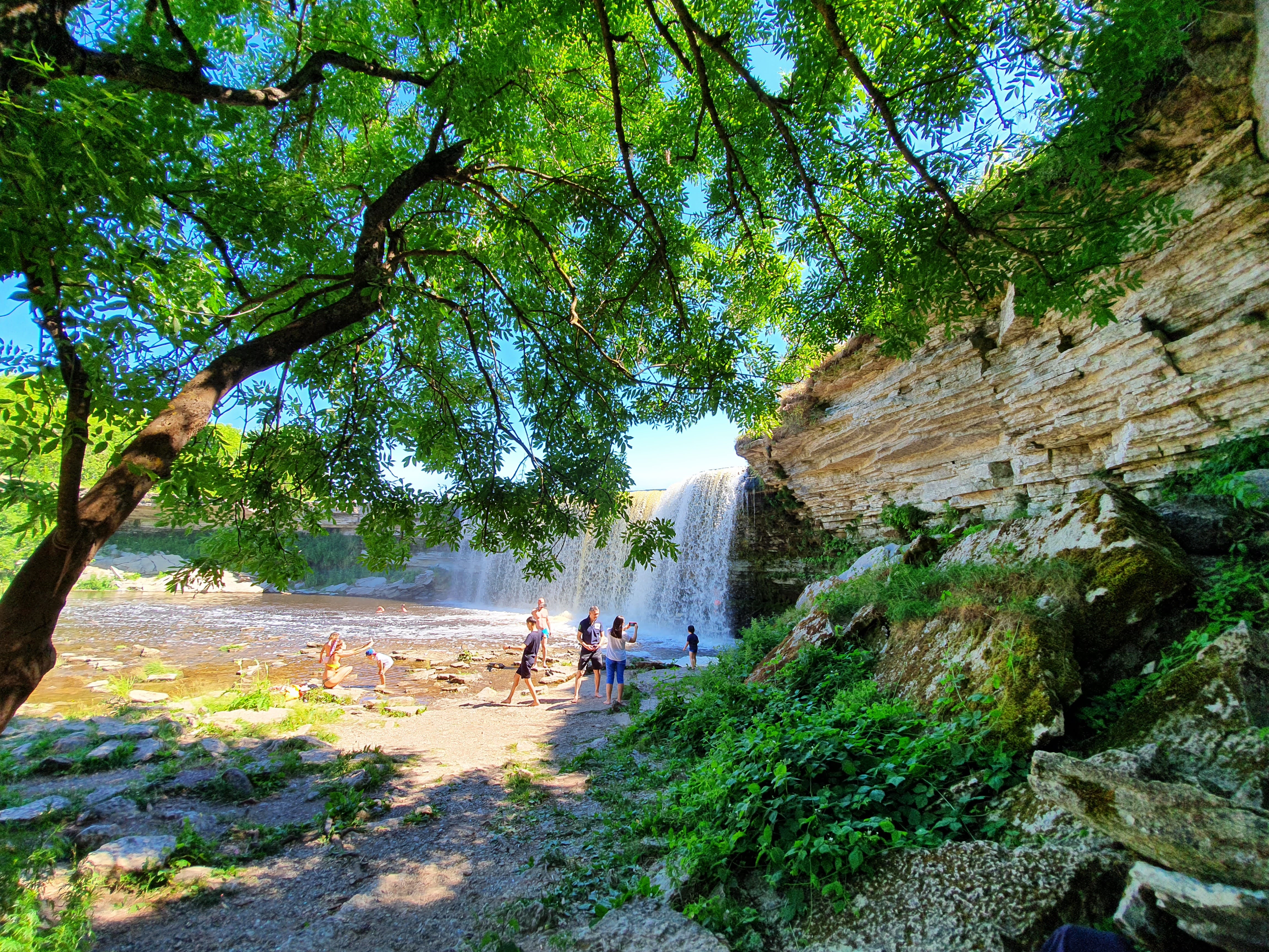
Spring flood discharge
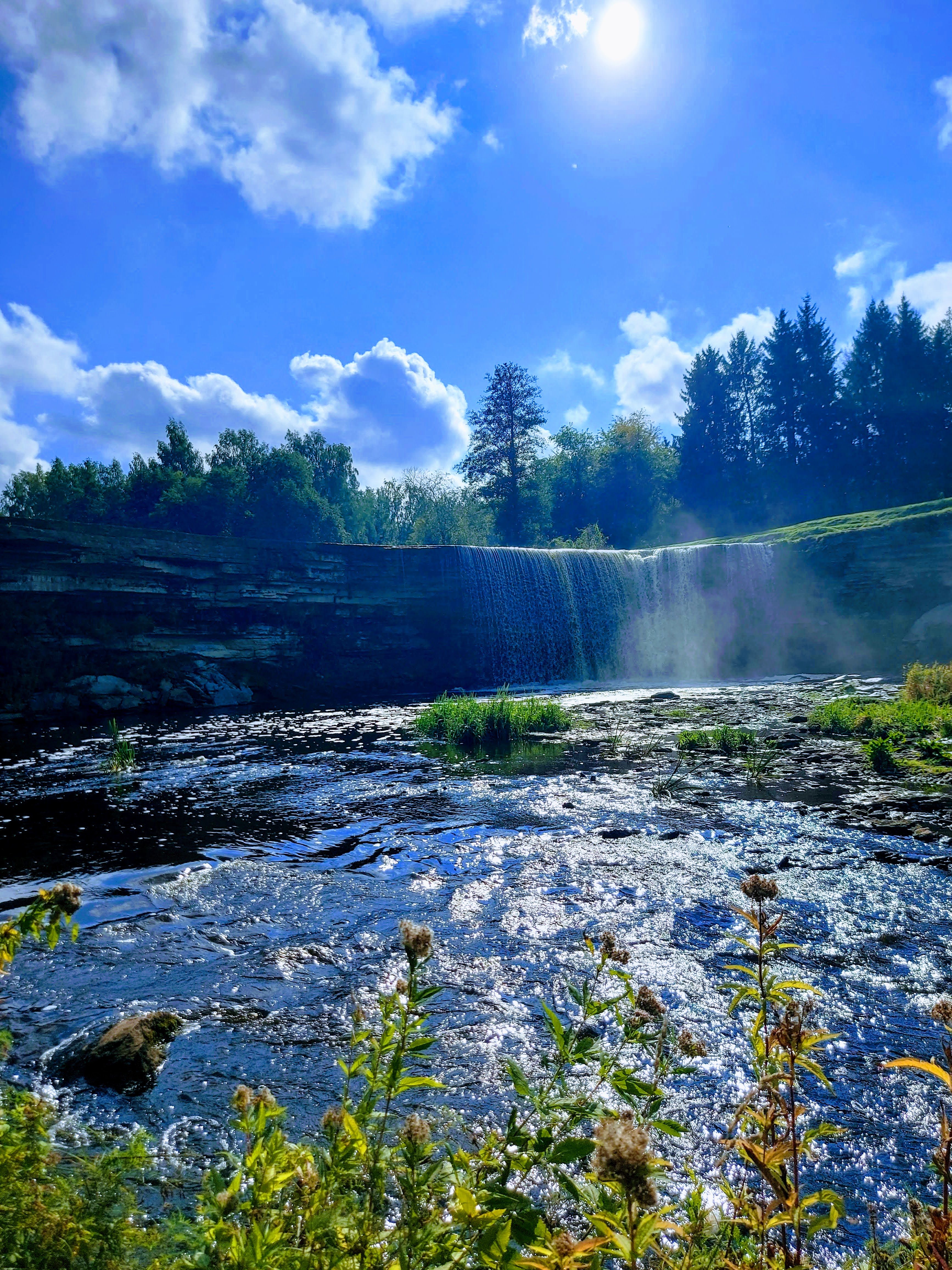
Summer lush canopy
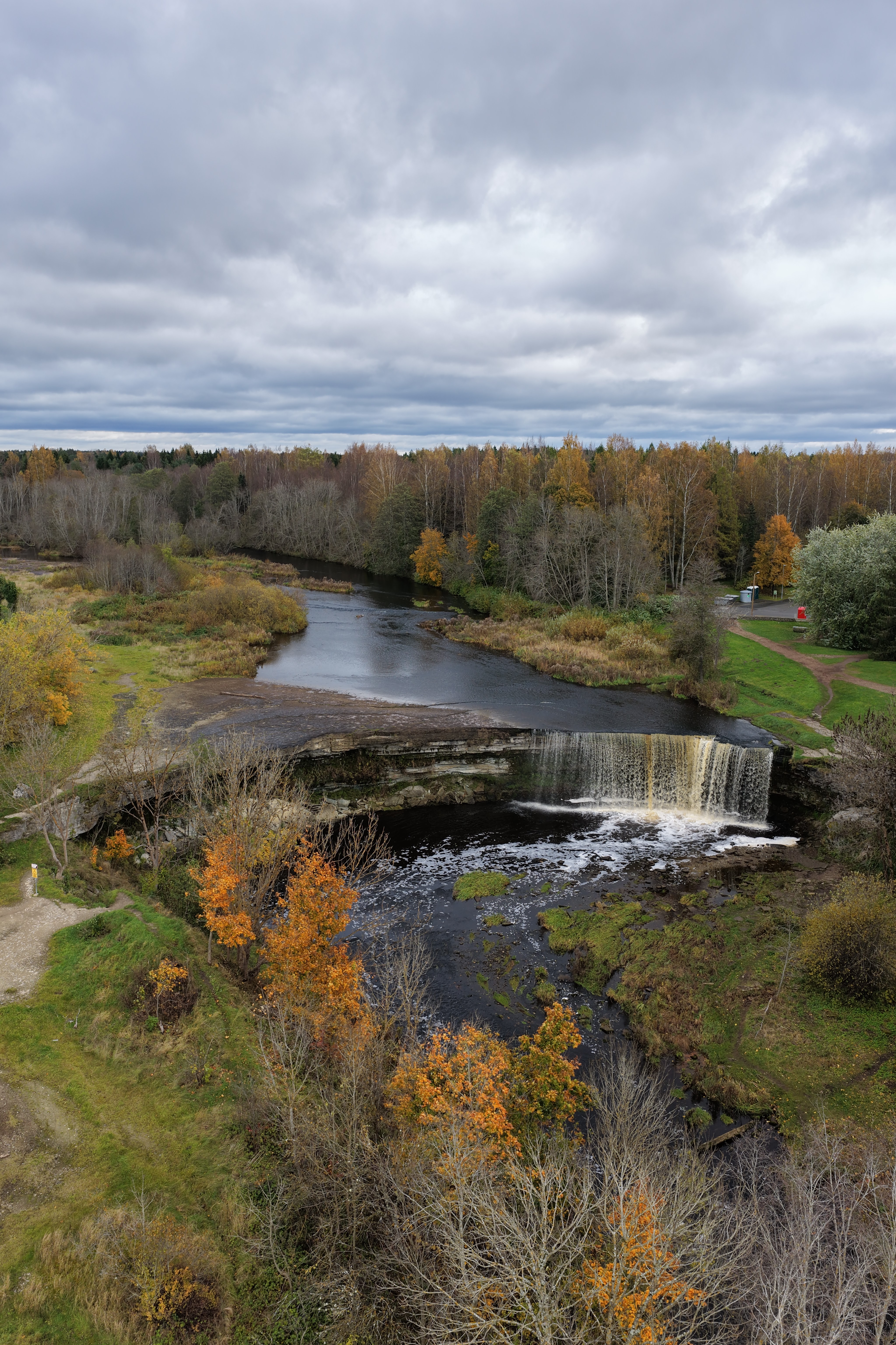
Autumn foliage layers
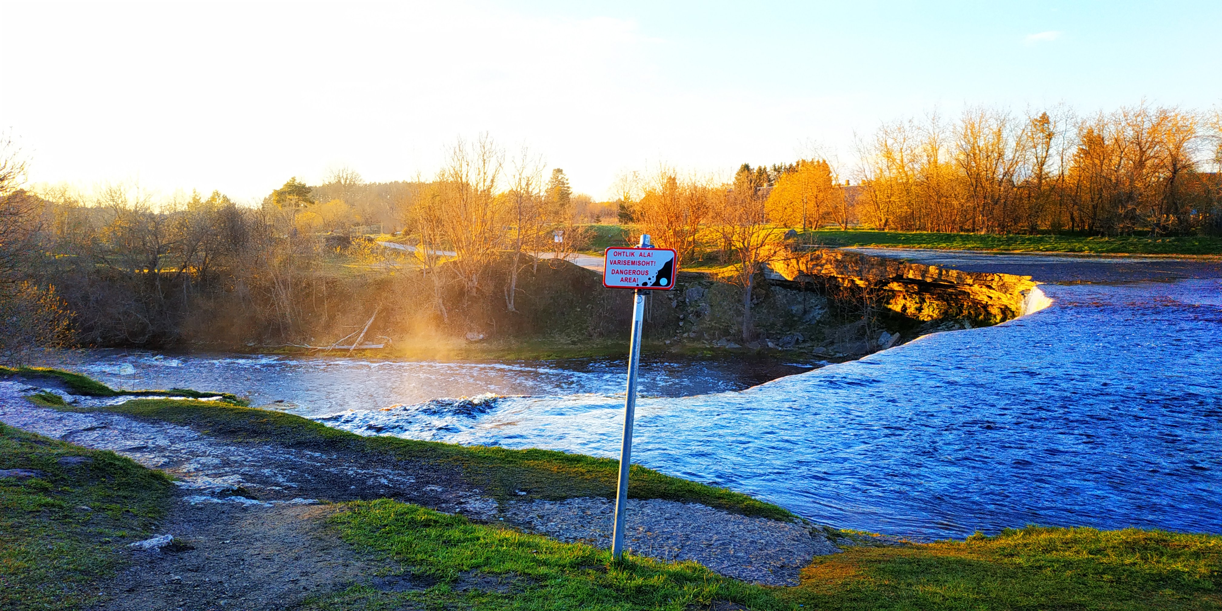
Winter ice curtain detail
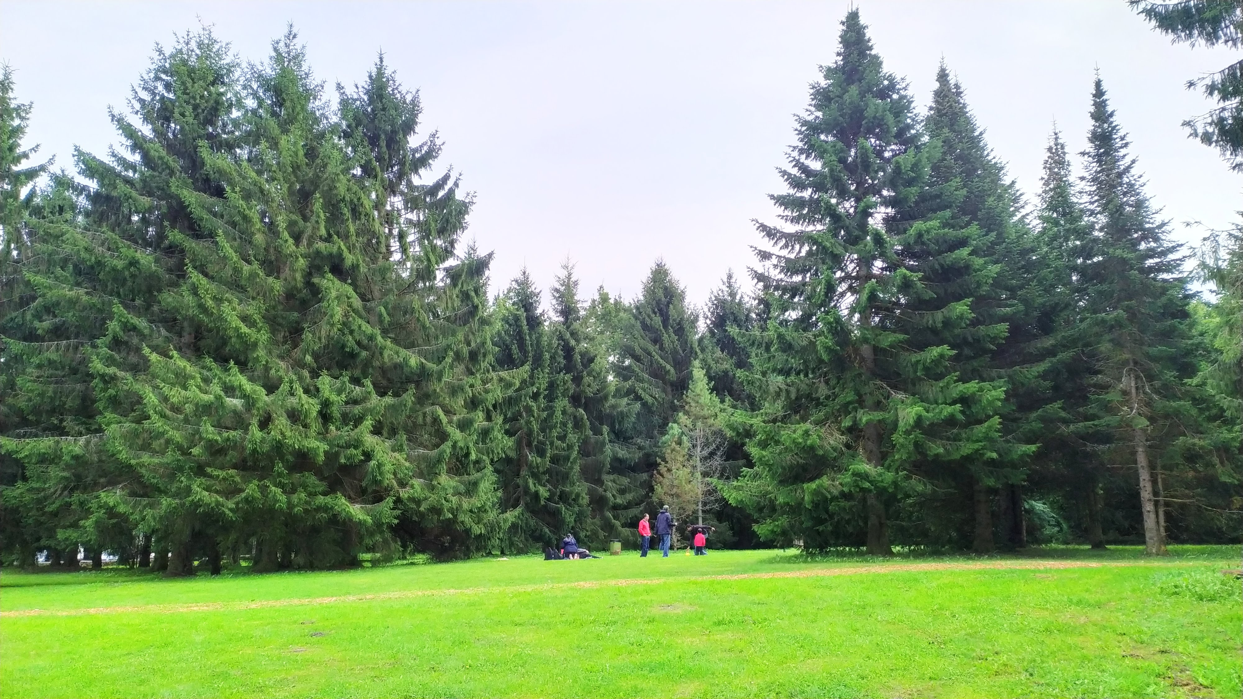
Gorge limestone erosion terraces
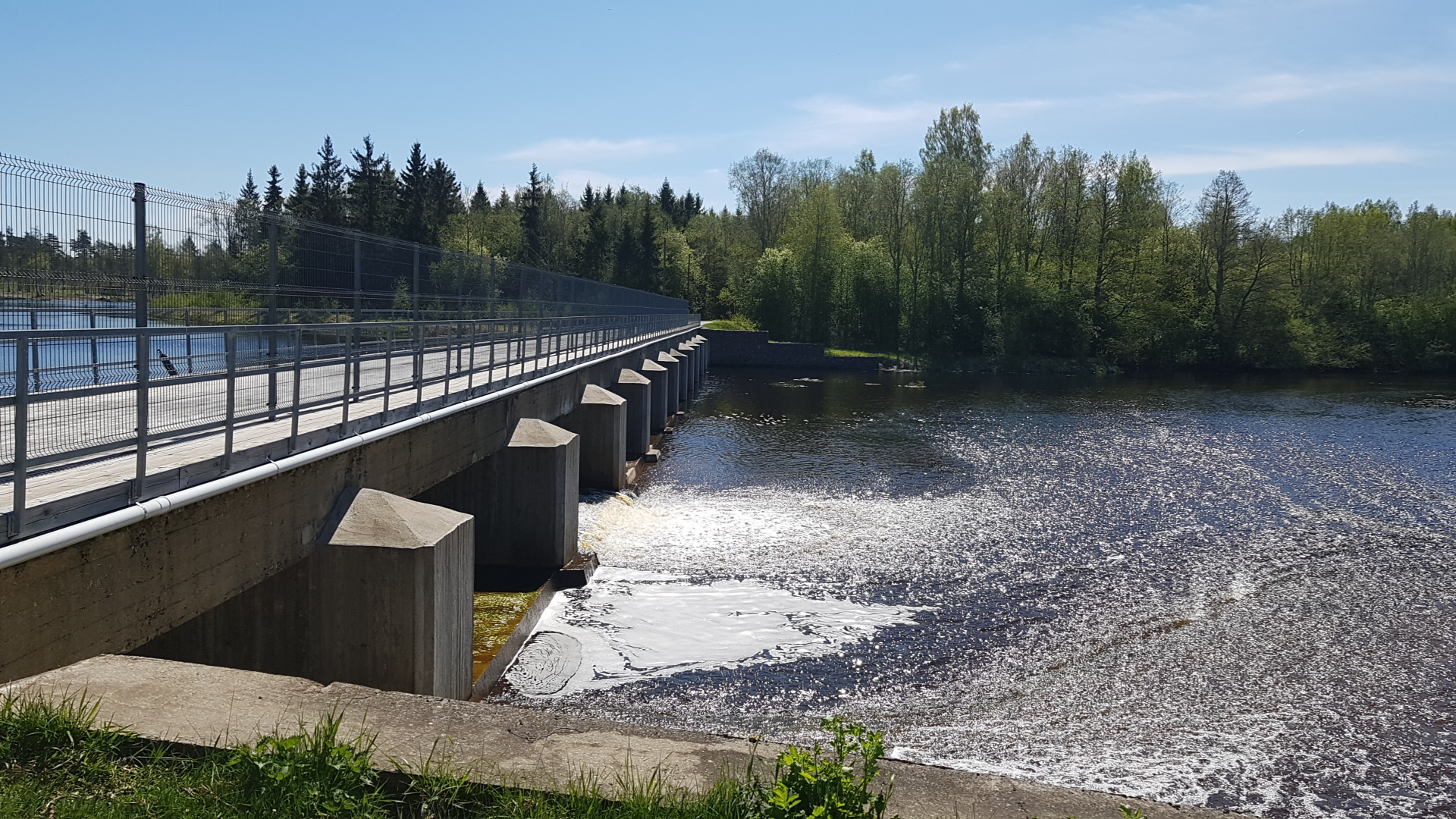
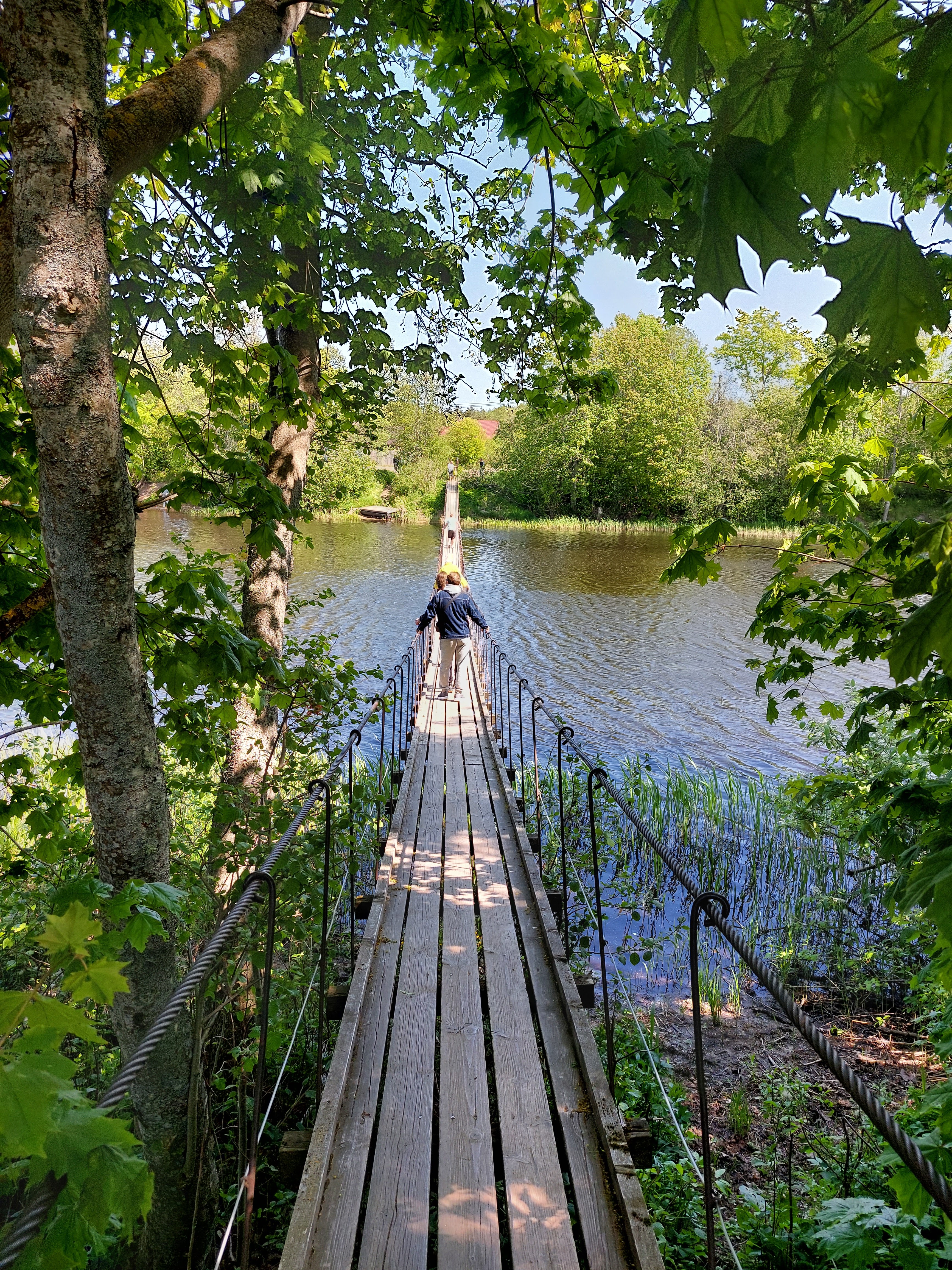
RMK forest trail corridor
Riverside shallow reach boulders
Visitor Reviews Summary
Granular and live visitor feedback may be consulted directly on Google Maps (external link).
Absolutely spectacular this year. Spring melt is the real window — I counted three distinct rainbows across the mist in a single morning. Stay on the boardwalks, though; some of the lower ledges are dangerously slick.
Very easy half-day from Tallinn by car, about 30 minutes. No tickets, no fences, just the landscape. RMK trails are really well kept and the picnic area was perfectly clean even on a Saturday.
Autumn foliage at Jägala was unreal this year — the right high-ground viewpoint gives you red birch canopy on top of the white curtain, nothing I've shot elsewhere in Estonia looks the same.
Ice curtain was solid and beautifully lit by the low sun. One star off because the RMK hut toilet was locked for the winter — call ahead if that matters for your group.
Frequently Asked Questions (FAQ · 6)
Further Reading & Nearby Protected Landmarks
Nearby Protected Landmarks (Official Links)
Location & Access Map — Jagala Waterfall (Jägala-Joa)
Kubja tee, Jägala-Joa, 74212 Harju maakond, Estonia · 59.4498° N, 25.1762° E
For the latest official updates, park regulations and regional tourism calendars, please consult Visit Estonia · Official Tourism Portal of Estonia.